


Location:
Trail end points are at Lake St. Clair Metropark in Harrison Township and Schoenherr Road in Sterling Heights. You can access the trail wherever it crosses a road.
Type:
Asphalt, concrete, sidewalk with street crossings
Activities:
Walking, running, biking, rollerblading, wheelchair accessible
Maps:
Coming soon
About:
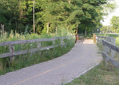
The nearly 10-mile Freedom Trail runs parallel to 16 Mile Road/Metro Parkway and takes users through urban, residential and natural settings in Sterling Heights, Clinton Township and Harrison Township. At its east end, the route runs into Lake St. Clair Metropark, providing scenic views of the shoreline. The trail also connects to other networks, including the Clinton River Park Trail and the Clinton River Spillway Bike Path.
Take a virtual tour of the Freedom Trail via Terrain 360, a resource provided by Southeast Michigan Council of Governments (SEMCOG)
**Note: Terrain 360 was last updated in 2020
**Photo via https://www.traillink.com/trail/metro-parkway-trail/